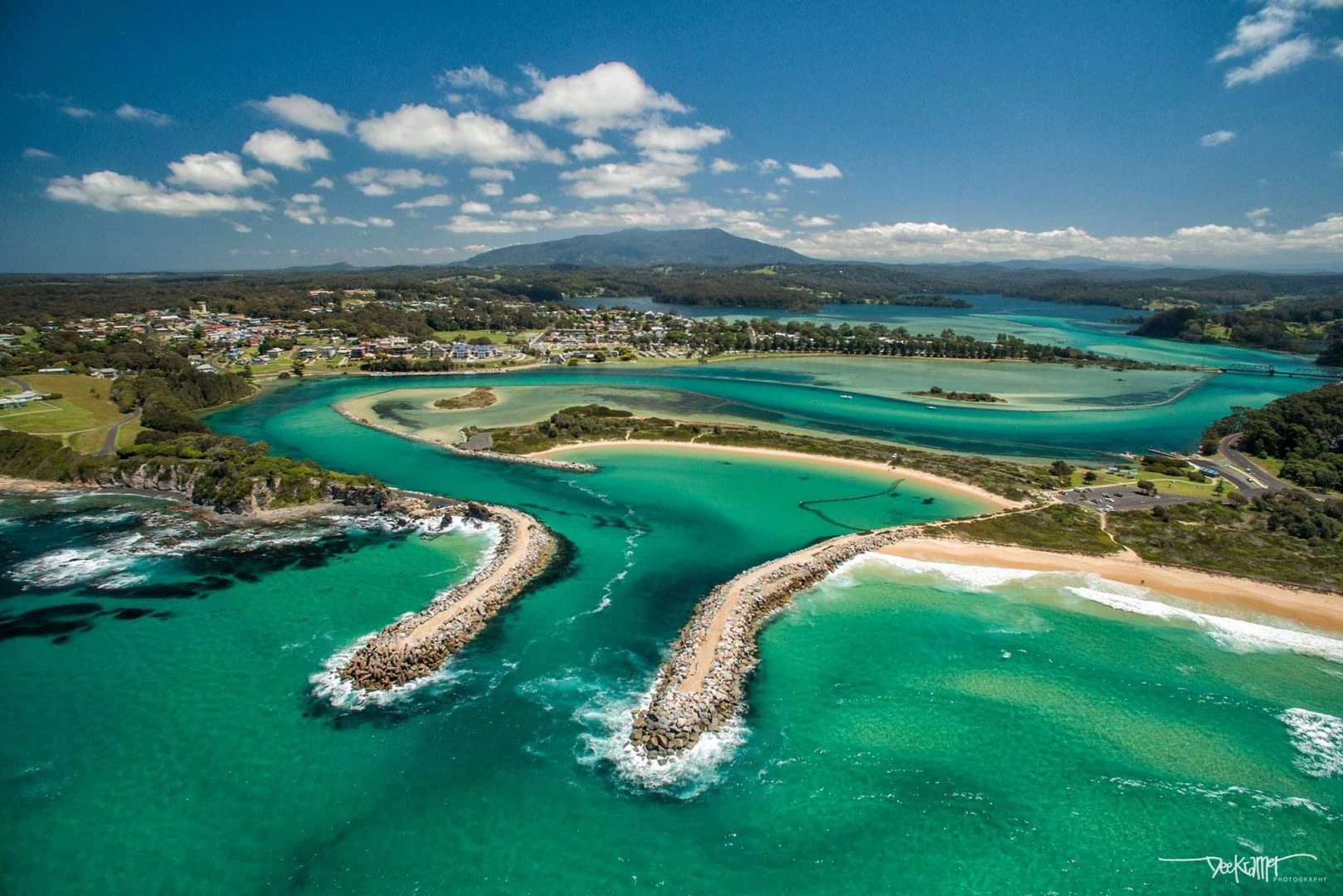
Narooma is a city in the Australian state of New South Wales on the far south coast. The town is located on the Princes Highway.
Narooma is a city in the Australian state of New South Wales on the far south coast. The town is located on the Princes Highway and the name Narooma is said to come from the word Aboriginal meaning ‘clear blue water’.
1. Barunguba
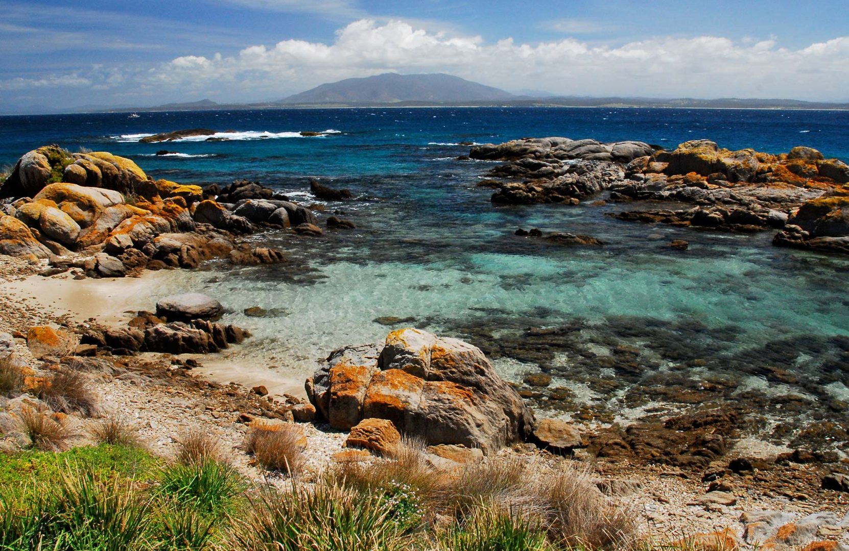
Montague Island is a continental island contained within the Montague Island Nature Reserve, a protected nature reserve that is located offshore from the South Coast region of New South Wales, in eastern Australia. The nearest town located onshore from the 81-hectare reserve and island is Narooma, situated approximately 9 kilometers to the northwest. Montague Island is the second-largest island of the New South Wales east coast after Lord Howe Island. It has been classified by the National Trust as a Landscape Conservation Area for its scenic, scientific and historical values. The Montague Island Light buildings are entered on the Register of the National Estate because of the architectural quality of the tower and residences.
2. Gulaga National Park
Gulaga is a national park on the south coast of New South Wales, Australia. The park was created in 2001. It is 46.73 km² in area. The park forms part of the Ulladulla to Merimbula Important Bird Area, identified as such by BirdLife International because of its importance for swift parrots. On 6 May 2006, the freehold titles to Gulaga and Biamanga National Parks were handed back to the Yuin people by the New South Wales Government. Freehold title of Gulaga National Park will be held in trust for the Aboriginal owners by Merrimans and Wagonga Local Aboriginal Lands Councils, while that of Biamanga will be held in trust by Merrimans and Bega Local Aboriginal Lands Councils.
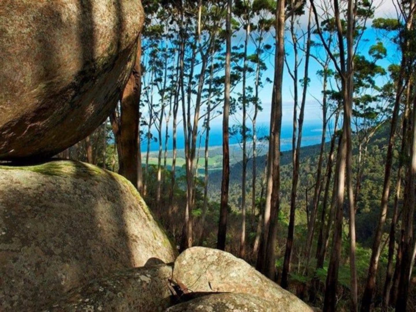
3. Mount Dromedary
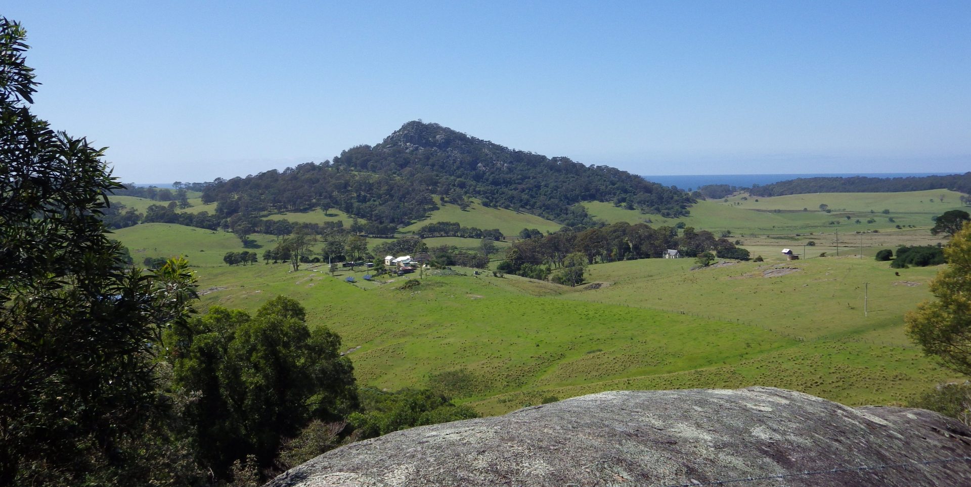
Mount Gulaga, also Gulaga, and formerly known as Mount Dromedary, a mountain located in the south coast region of New South Wales, Australia, rises above the village of Central Tilba and is within the Gulaga National Park. At its highest point, it measures 806 meters above sea level.
4. Eurobodalla National Park
Eurobodalla National Park is a non-contiguous national park in New South Wales, Australia, 268 km southwest of Sydney spanning from Moruya Heads to Tilba Tilba Lake, 12 km south of Narooma. The park forms part of the Ulladulla to Merimbula Important Bird Area, identified as such by BirdLife International because of its importance for swift parrots.
5. Montague Island Lighthouse
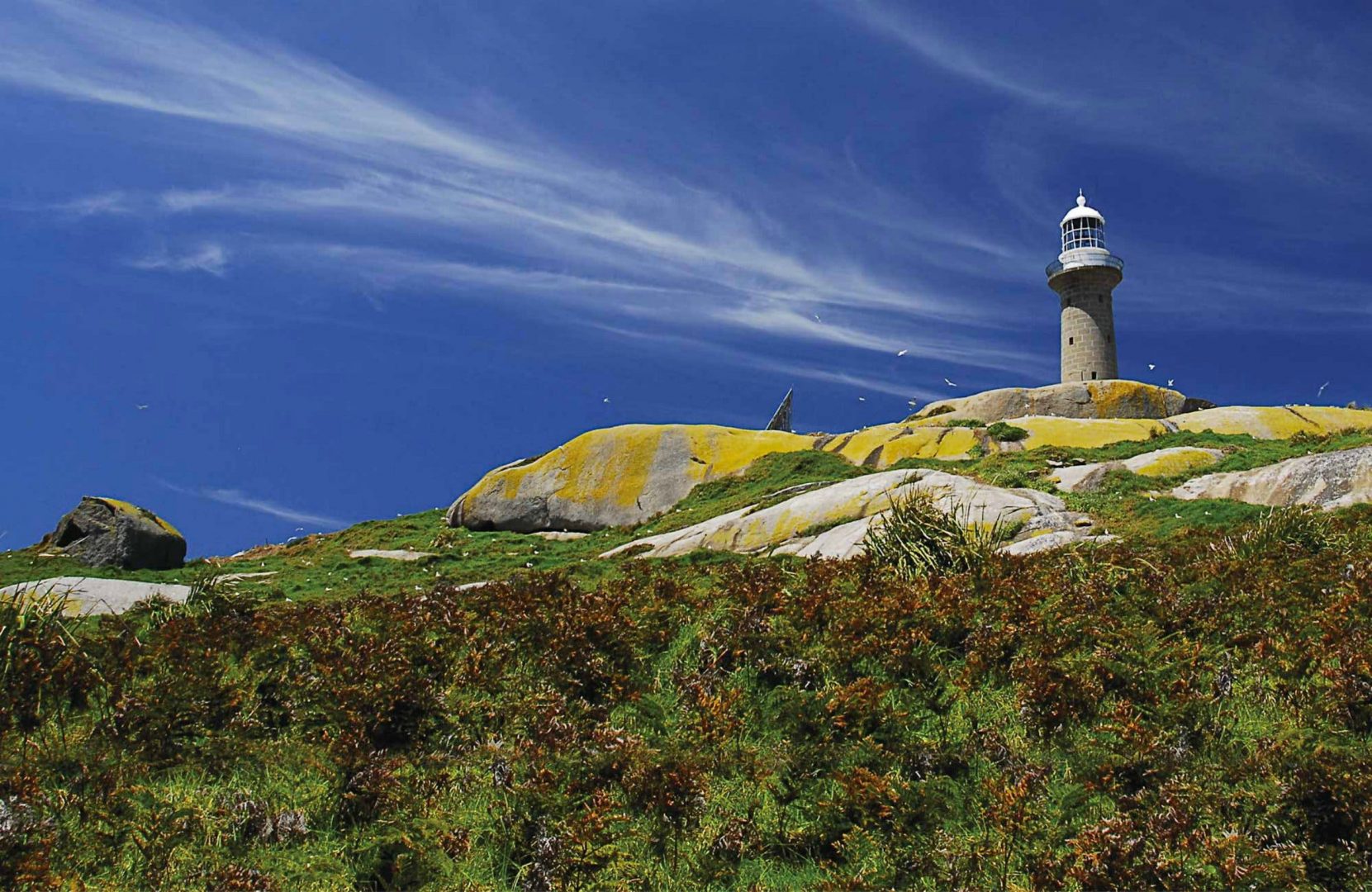
The Montague Island Light is a heritage-listed active lighthouse located on Montague Island, an island in the Tasman Sea, 9 kilometers offshore from Narooma on the south coast of New South Wales, Australia. The lighthouse is located at the highest point of the island. It was designed by James Barnet and NSW Colonial Architect and built from 1878 to 1881 by J. Musson and completed By W. H. Jennings. It is also known as the Montague Island Lightstation and its setting.