Tiberias is a city of Israel on the west bank of Galilee. Its Old Town contains important Jewish and Christian pilgrimage sites.
Tiberias is a city of Israel on the west bank of Galilee. Its Old Town contains important Jewish and Christian pilgrimage sites, such as the Tomb of the Maimonides and the Abulafia Synagogue (Etz Chaim). To the south of the city, Hamat Tiberias National Park is home to famous healing springs dating back to antiquity.
1. Hamat Tiberias National Park
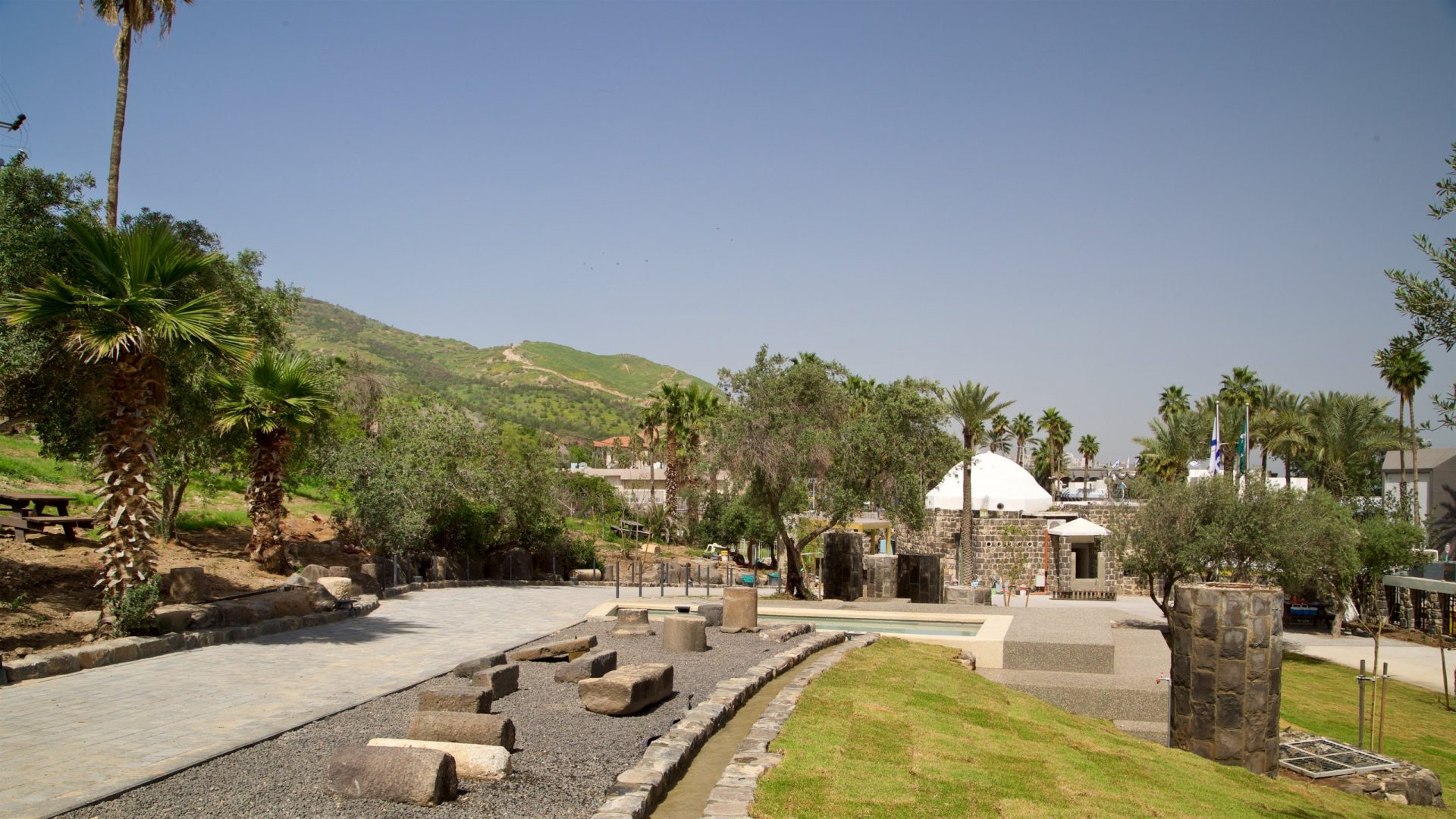
Hamat Tiberias is an ancient archaeological site and an Israeli national park known as Hamat Tverya National Park which is located on the Tiberias-Zemach road that runs along the shore of the Sea of Galilee to Tiberias. The 17 springs of Hamat Tiberias have been known since antiquity for their curative properties. According to the Jerusalem Talmud, a village once rested upon the site and was distinct from Tiberias. The site was rediscovered in 1920 when the Tiberias-Samakh road was being constructed.
2. Tomb of Maimonides
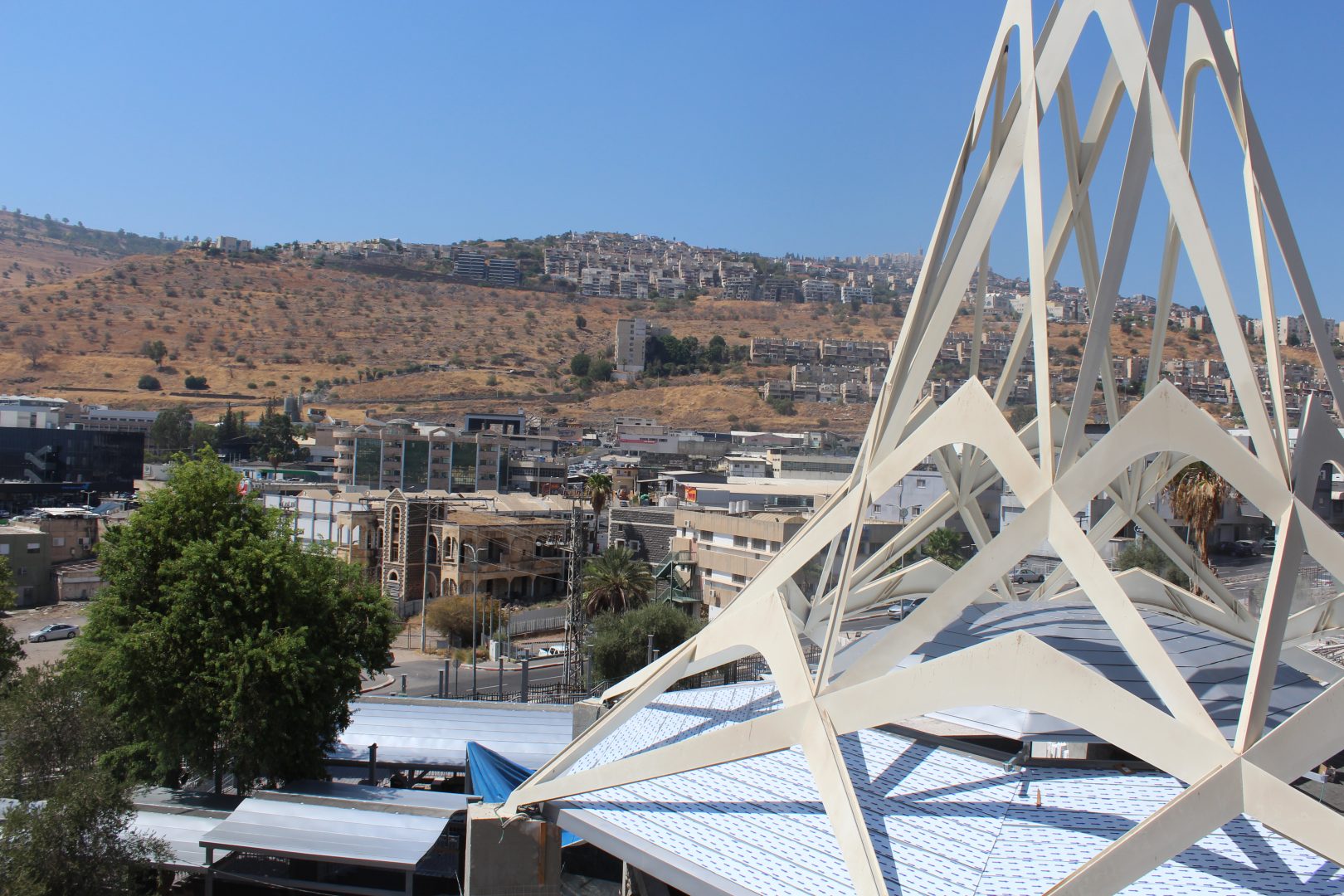
According to Jewish tradition, the Tomb of Maimonides is in central Tiberias, on the western shore of the Sea of Galilee, Israel. Maimonides died in Fustat, Egypt on 12 December 1204, where it is believed that he was briefly buried before being reinterred in Tiberias. The Tomb of Maimonides is one of the most important Jewish pilgrimage sites in Israel, and one of Tiberias’s most visited tourist attractions. The place of the tomb of Maimonides is also the burial place of Rabbis Yochanan ben Zakai and Isaiah Horowitz.
3. Abulafia Synagogue, Tiberias
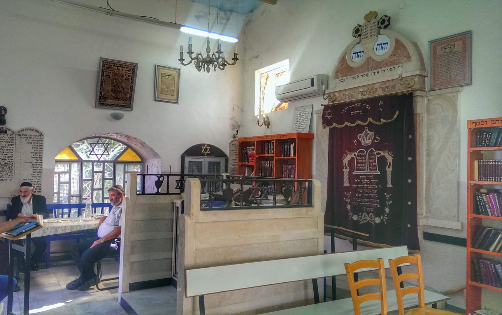
Etz Chaim, ‘tree of life’ was the title of a book by Rabbi Chaim Abulafia, the rabbi who re-established the Tiberias Jewish community in 1740. The Etz Chaim Synagogue was built over remains of an older synagogue once visited by the holy Ari, leader of sixteenth-century Safed’s mystics. The synagogue was destroyed in the earthquake of 1759 and rebuilt.
4. Sea of Galilee
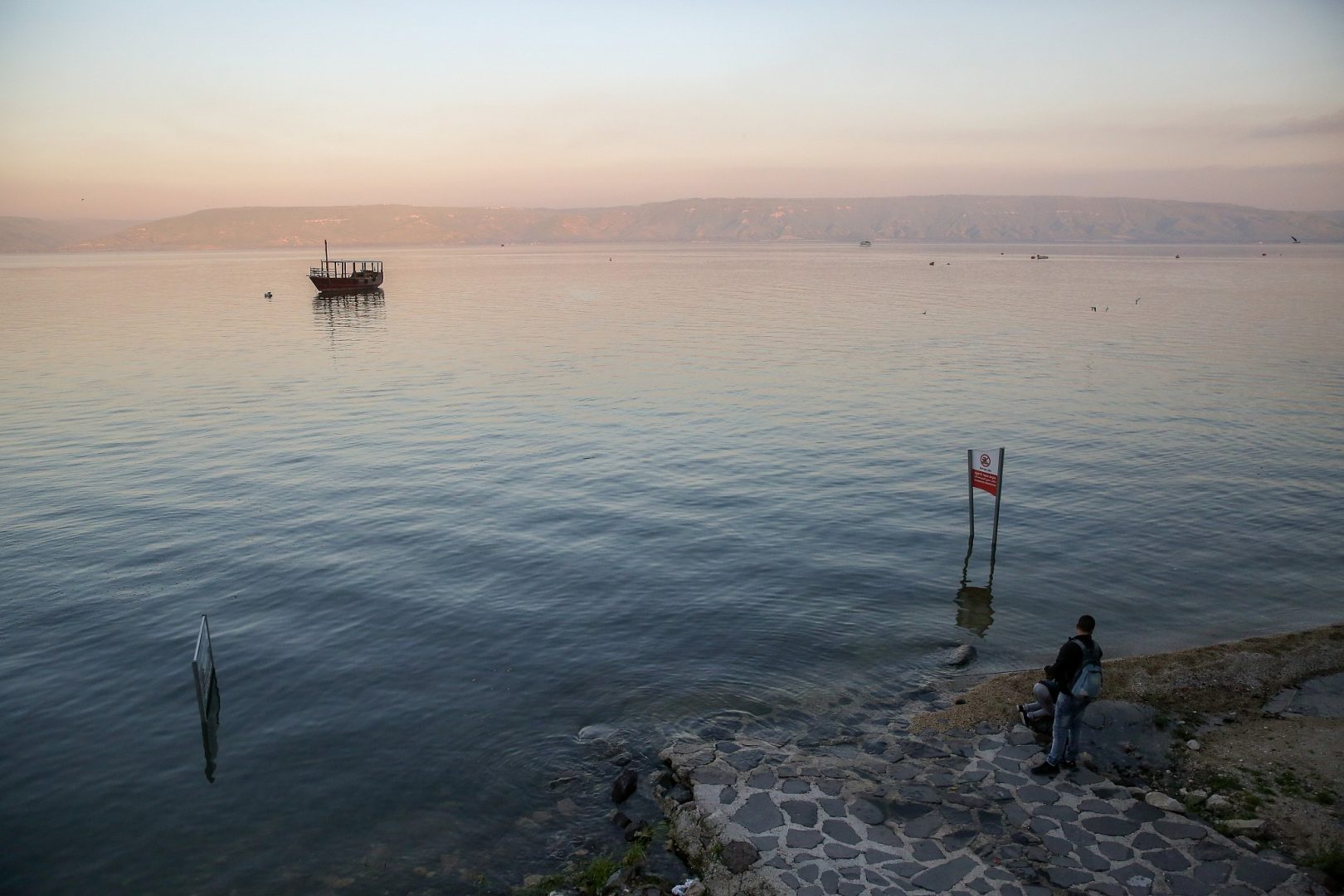
The Sea of Galilee, Lake Tiberias, Kinneret or Kinnereth, is a freshwater lake in Israel. It is the lowest freshwater lake on Earth and the second-lowest lake in the world, at levels between 215 meters and 209 meters below sea level. It is approximately 53 km in circumference, about 21 km long, and 13 km wide. Its area is 166.7 km² at its fullest, and its maximum depth is approximately 43 m. The lake is fed partly by underground springs, but its main source is the Jordan River, which flows through it from north to south.
5. Mount Arbel
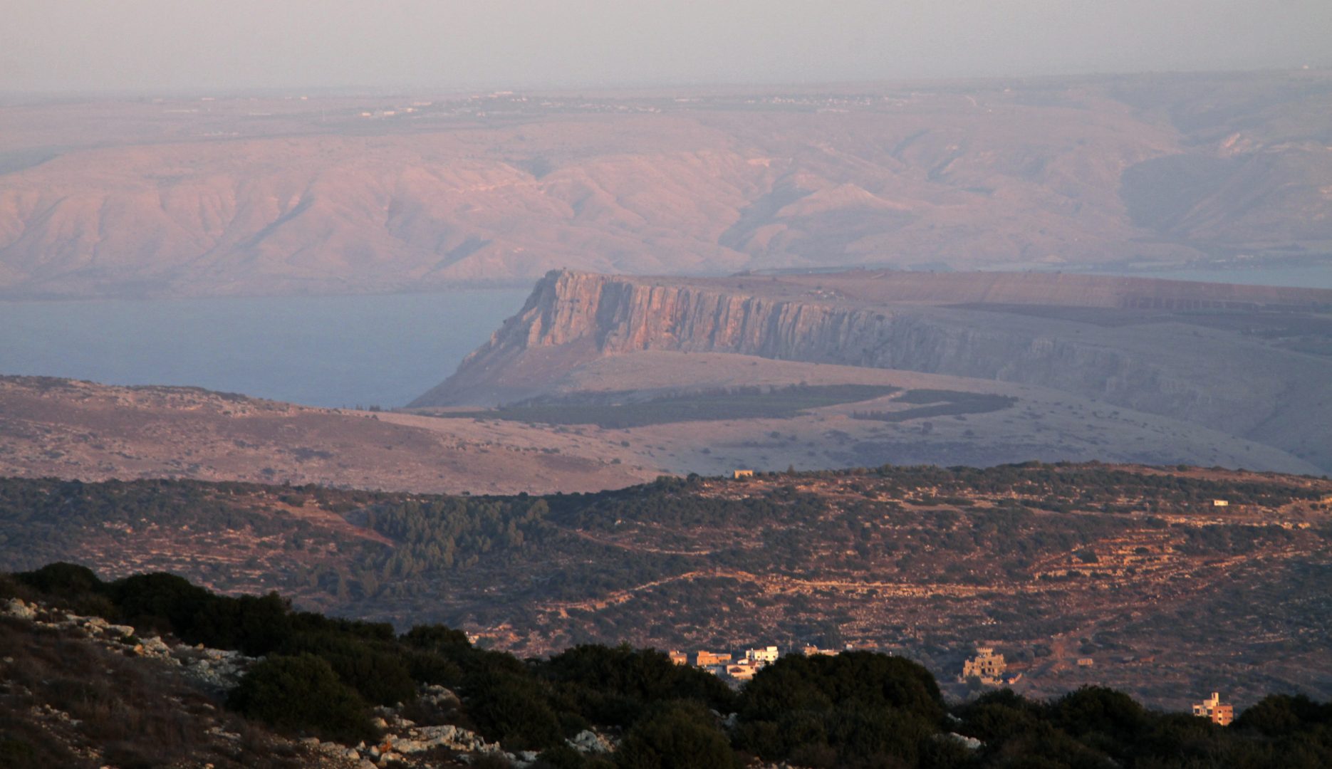
Mount Arbel is a mountain in The Lower Galilee near Tiberias in Israel, with high cliffs, views of Mount Hermon in the Golan Heights, trails to a cave-fortress, and ruins of an ancient synagogue. Mt. Arbel sits across from Mount Nitai; their cliffs were created as a result of the Jordan Rift Valley and the geological faults that produced the valleys. There are four villages on the mountain: Kfar Zeitim, Arbel, Kfar Hittim, and Mitzpa. The peak, at 181 meters above sea level, dominates the surroundings and from the lookout atop the mountain, almost all of the Galilee into the Golan Heights including Safed, Tiberias and most of the Sea of Galilee, is visible.
